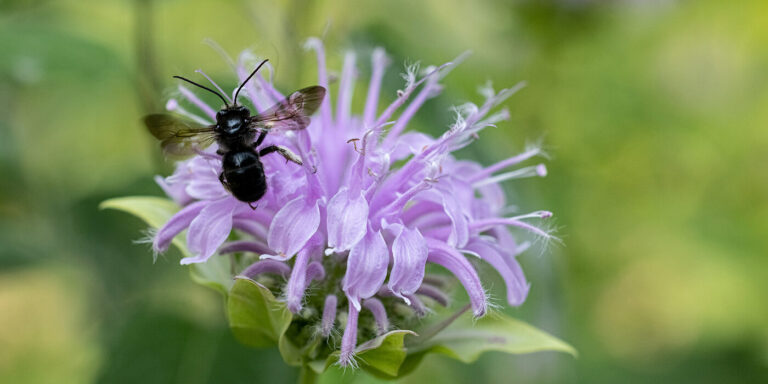
The Center for the Environment is an interdisciplinary hub of environmental research that is committed to generating transformative solutions to our deepest societal challenges including: climate change, air pollution, access to clean water, food insecurity, biodiversity loss and infectious diseases.
By the numbers
76
Center scholars
6
Teams/Grants supported
250+
Activity participants
208
Journal articles published in 2023
The Center’s mission
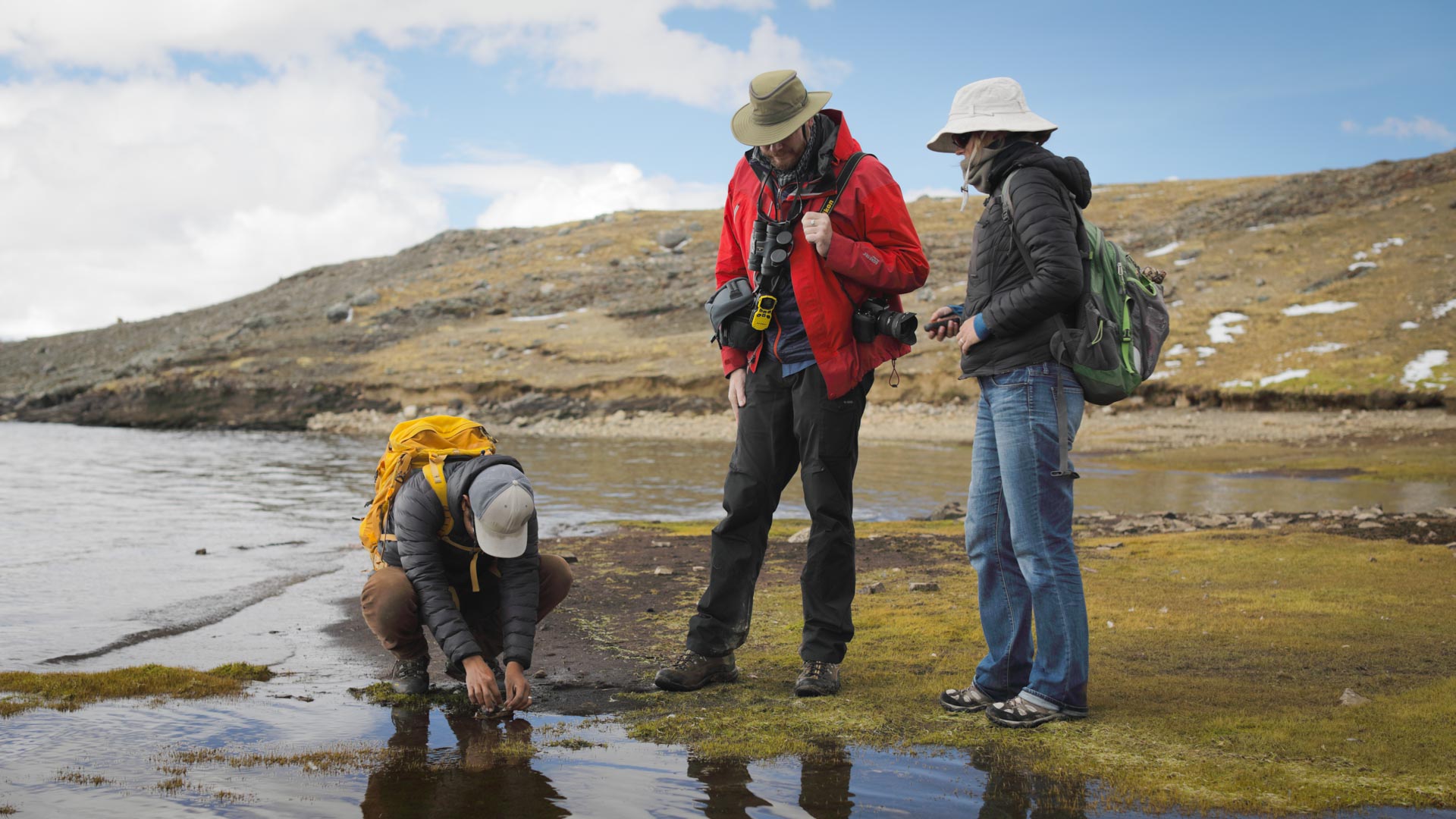
The center serves as a cross-cutting collaboration hub, encouraging partners, faculty and students to advance research projects in areas including biodiversity, environmental justice, planetary health, environmental solutions, and climate change. Here’s a closer look at who we are, what we do, and why it matters for our community, our region and our world.
Featured research & stories
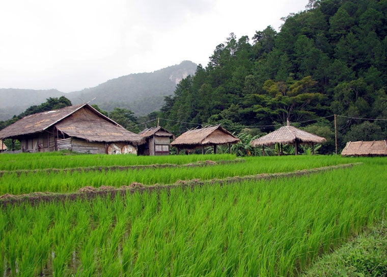
Weedy rice gets competitive boost from its wild neighbors
Working with partners in China, Malaysia and Thailand, biologists in Arts & Sciences determined that weedy rice is crossbreeding with wild rice in Southeast Asia.
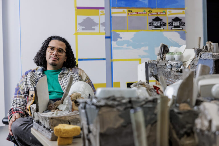
‘The night sky and the asphalt road’
Acclaimed St. Louis artist Kahlil Robert Irving (MFA ’17) will present his installation “Archaeology of the Present” at WashU’s Kemper Art Museum beginning Feb. 23.
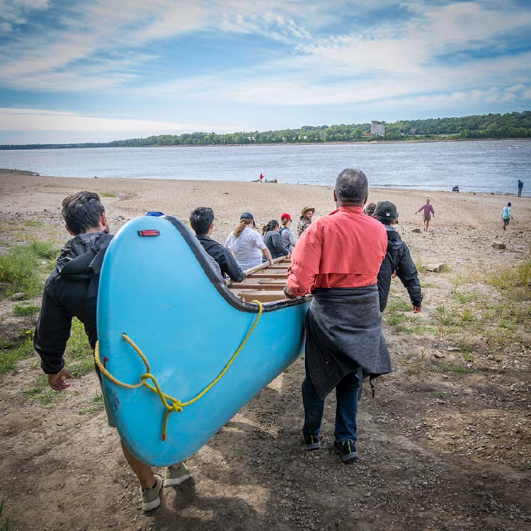
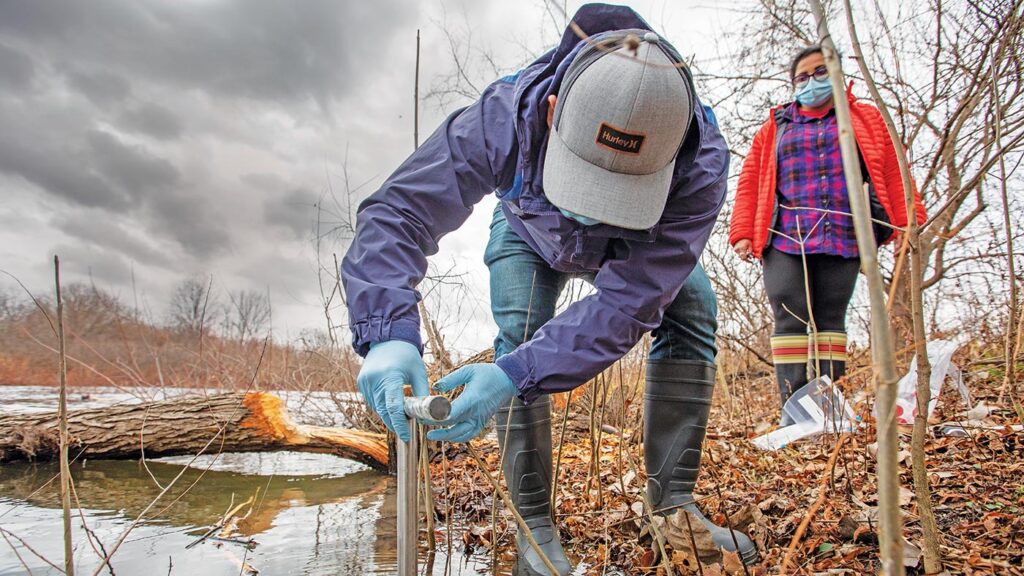
Preserving our planet
The new Center for the Environment serves as a hub for cross-disciplinary collaboration, which is crucial to solving complex environmental problems.
The WashU ecosystem
Within the WashU ecosystem of environmental research, education, and practice, the Center for the Environment serves as a connector. Much like a biodiversity corridor, we work to create space where our partners within the ecosystem and across distinct disciplines come together to address our world’s biggest environmental challenges.
In the news
Connect with us
Upcoming Events