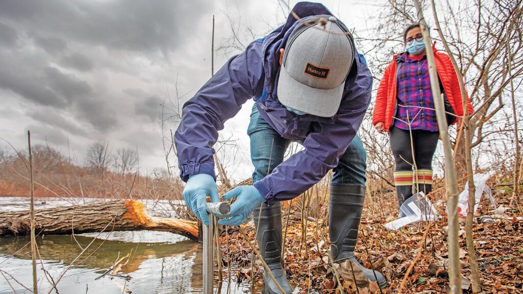
The Center for the Environment is an interdisciplinary hub of environmental research that is committed to generating transformative solutions to our deepest societal challenges including: climate change, air pollution, access to clean water, food insecurity, biodiversity loss and infectious diseases.
By the numbers
86
Center scholars
6
Teams/Grants supported
250+
Activity participants
208
Journal articles published in 2023
The Center’s mission
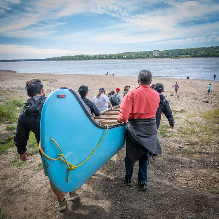
The center serves as a cross-cutting collaboration hub, encouraging partners, faculty and students to advance research projects in areas including biodiversity, environmental justice, planetary health, environmental solutions, and climate change. Here’s a closer look at who we are, what we do, and why it matters for our community, our region and our world.
Featured research & stories
Transforming wood waste for sustainable manufacturing
Foston takes detailed look at lignin disassembly on path to replace petroleum with renewables
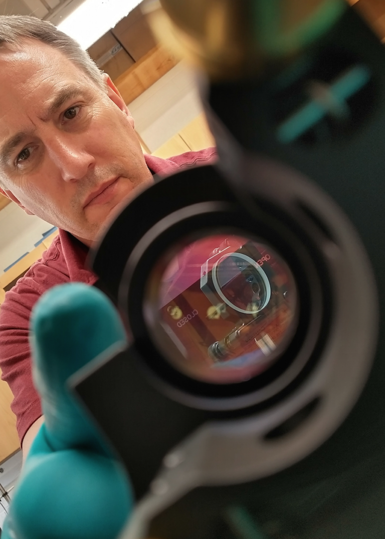
With NASA support, device for future lunar mission being developed at WashU
Scientists at WashU are developing a prototype for an instrument for a future Moon mission with support from a nearly $3 million grant from NASA.

Efficient lithium-air battery under development to speed electrification of transit
Xianglin Li leads team with $1.5 million from ARPA-E for next-generation, high-energy battery
The WashU ecosystem
Within the WashU ecosystem of environmental research, education, and practice, the Center for the Environment serves as a connector. Much like a biodiversity corridor, we work to create space where our partners within the ecosystem and across distinct disciplines come together to address our world’s biggest environmental challenges.
In the news
Connect with us
Upcoming Events